Although our original plans for an extended stay in Helena didn't work out, our research into local hiking trails led us to an interesting one called Red Mountain. What drew us in was the promise of incredible 360-degree views for less than two-miles of hiking, plus the opportunity to see the unique mining community of Rimini. It sounded like the perfect adventure as we made our way back to Missoula, and we couldn't resist the allure this hike offered!
 |
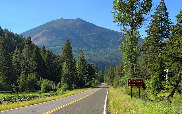
Wow, Red Mountain (8,150 ft) looks higher than we were expecting . . .
We thought this was supposed to be a short hike! |
 |
Thankfully, we were able to drive up to about 6,500 ft where there was a small pullout . . .
Directly across the road from the parking area was a well used social trail that took us to the top |
 |
| Bolete mushroom |
 |
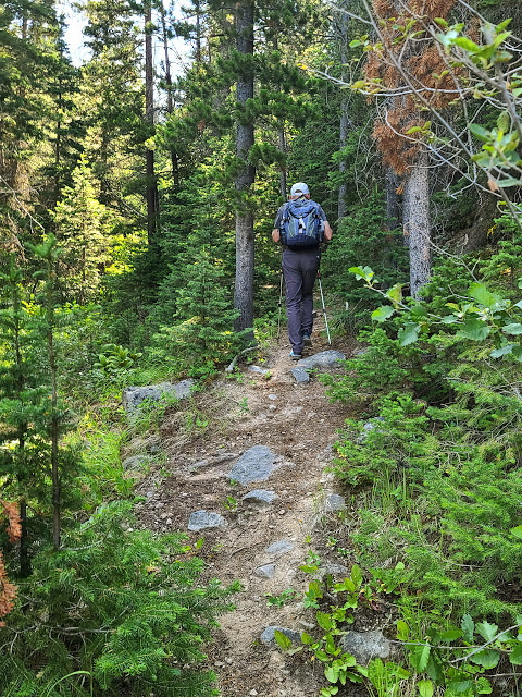
The trail follows a small unnamed creek . . .
It then climbs out of the draw and begins a steep ascent of the mountain |
 |
| Puffball mushroom |
 |
| Bear grass near the end of its bloom |
 |
| This Spruce Grouse stood still . . . thinking we didn't see him (or her)! |
 |
Working our way out of the draw and heading for the steepest part of the trail . . .
We were surprised to find trees that were damaged by bark beetles . . .
For some reason, or another, we only considered this a problem for the southwestern states |
 |
Let the steep part begin (7,250 ft) . . .
Without a doubt, this section was the hardest part of the trail . . .
It took us from the base of the mountain and skirted through and alongside a rock slide
before finally topping out at a saddle (7,800 ft) . . . in just a half-mile!
(Don't expect many switchbacks . . . it's just straight up!) |
 |
Once at the saddle, things improved considerably . . .
We followed the trail for .5 mile, and enjoyed a nice leisurely stroll to the top |
 |
| This is the only 'red' we saw on Red Mountain |
 |
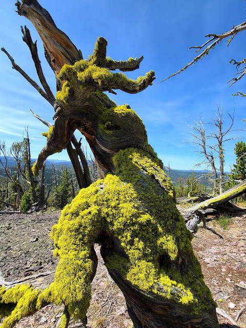
A lot of the trees, on the ridgeline, had a thick covering of moss on their northsides . . .
At times it made the sparse forest seem almost enchanted |
 |
Kent at the high point of Red Mountain . . .
Once on top, all obstacles are removed that would block your 360° views in every direction |
 |
What's better than making it to the top?
Making it to the top and locating a 1934 benchmark! |
 |
| Click on the picture for an enlarged view that provides a good feeling of just how barren the top is |
 |
There were several rock cairns located in different area on the top . . .
This was one of our favorites!
That's Chessman Reservoir in the distance . . . it's were the city of Helena stores their water supply |
 |
| After enjoying a nice break, we headed back down through the mossy forest |
 |
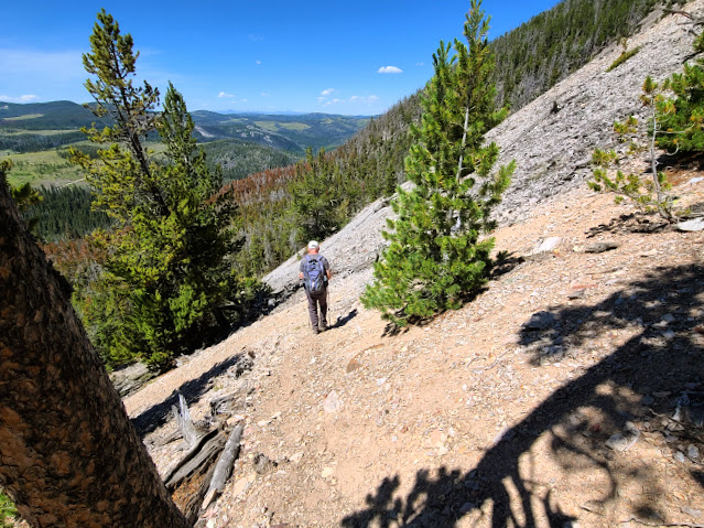
It's hard to tell just how steep the trail is in this picture . . . but believe us it was steep!
Remember, just take baby steps! |
 |
| Almost through the rockslide and on to a more manageable (enjoyable) grade |
 |
Near the bottom of the trail is an old collapsed log cabin . . .
We're almost back! |
 |
Once back to the car, we drove down the road for about a half mile to this "old" flume
(It looks old, and probably is, but this aqueduct is still being used today as part of Helena's water system) |
 |
The aqueduct takes water from Banner Creek and carries it 5 miles to Chessman Reservoir . . .
If you're so inclined you can hike along the aqueduct, just remember it's 5 miles back!
Chessman is the Reservoir that we could see from the top of Red Mountain . . .
|
 |
As we worked our way back to the highway, we spent some time enjoying the old mining town of Remini . . .
(Click this link to "Ghost Towns and More" to see a short five minute video that examines the towns origins) |
 |
There were many interesting buildings . . .
This one was a store front, with a lady mannequin, holding a mandolin, looking down on us as we passed by |
 |
One last look at Red Mountain, from Remini, before heading for Missoula . . .
|
Many thanks to Rod Benson (aka "
Big Sky Walker") who posted this hike (and the aqueduct history) on his website. Please click on the link above and take some time reading his post and looking at his pictures . . . he's a long-time resident of Helena and shares his knowledge of the area in an interesting format. You can also find directions to the trailhead (which were spot on) if you decide to do this fun, but strenuous short hike (3.5 miles r/t, with about 1,700 ft of elevation gain).
If nothing else, take the 8-mile paved road to Rimini. While you could call it a Montana Ghost Town, there are several residents who still live here and they have done a fantastic job of keeping it's rich history alive! Many of the cute homes have been restored with modern amenities. Certainly, worth taking a short diversion off the highway for!


